Read a Ski Trail Map With the Resort's Signs and Current Closures
A ski map is a planning aid, not a live guarantee that a route is open or appropriate for your ability. Read it alongside the resort's current operating information and on-site signs. This guide explains a beginner's map-reading conversation and an offline record you can use at the base. It does not teach route finding beyond controlled resort terrain or authorize entry into closed areas.
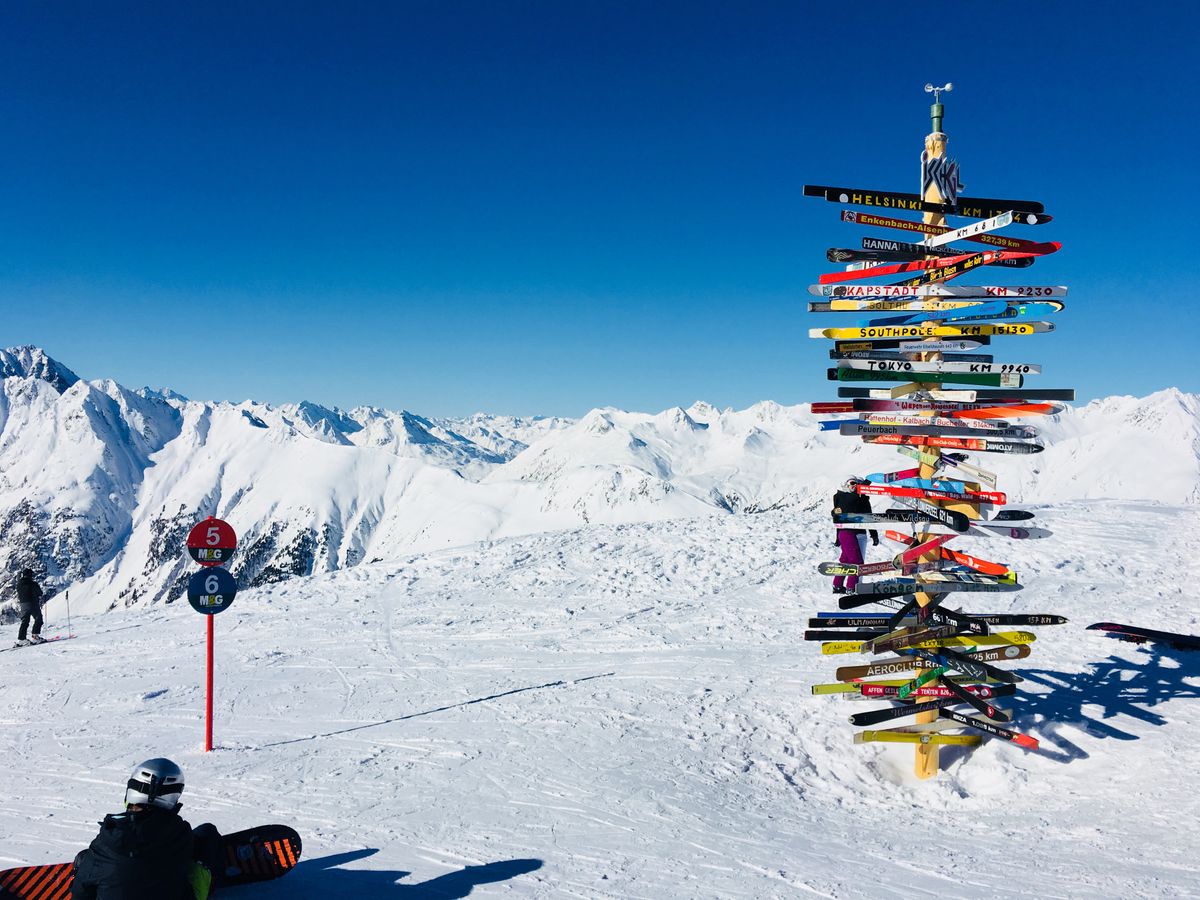
Photo: Pexels · Pexels License. Illustrative photograph of the subject; not a tested result, current condition report or endorsement. Display may crop the original.
Use the current edition from the operator
Download the map from the resort's own current website or collect its printed version. Check that it covers the correct mountain, base area and season. Search results and hotel brochures may show an older layout. Save the file offline and keep the resort's current operating page as a separate link. A printed map can remain useful when a phone loses power, but it cannot display a closure posted later that morning.
Read the legend before interpreting a color
Find the map's actual legend for trail symbols, lift types, patrol locations and other markings. Different countries use different systems, and ratings are not identical across individual mountains. Ask the school how it describes first-time terrain locally. Do not choose a trail only because you have seen the same color elsewhere; your instructor's assessment and the route's current conditions are more relevant than a familiar-looking symbol.
Connect the base, lesson and return path
Mark where you arrive, collect equipment, meet the instructor, take a warm break and return rentals. Ask staff to show the route between these points, including whether a shuttle or different lift is involved. Scenic map artwork can compress distances and hide the effort of walking in boots. Keep a simple written sequence beside the map so practical travel does not depend on remembering the shape of an illustration.
Separate a trail from a complete route
A named run can be only one part of getting from a lift to your destination. Ask which connections are needed, whether all are open and where the route finishes. Look for a point where the journey becomes unsuitable or uncertain before starting. A friend may describe one section as easy while overlooking a connecting section or the last route back to another base. Confirm the whole journey with the instructor.
Read closures as instructions, not suggestions
The NSAA guidance directs users to follow signs and stay out of closed areas. A map showing a trail does not override a rope, sign or staff instruction on the mountain. Do not follow tracks through a boundary or assume someone ahead has permission. If a closure interrupts the intended route, stop in an appropriate visible place and ask staff for an allowed alternative instead of inventing a shortcut.
Record operating times without treating them as promises
Check the published lift hours and any same-day operating changes. Ask how much time your group needs to return to its correct base and equipment shop, then plan an earlier finish. Wind or another operational issue can change access before the nominal closing time. Keep a non-skiing transport option where the resort provides one, and do not use the final available ride as your entire return plan.
Plan how to describe where you are
Learn the names or numbers the resort uses for trails, lifts and meeting points. Save the official contact details and ask staff how they want visitors to request assistance. If something goes wrong, report the information you can actually verify rather than guessing a location from a distant landmark. Do not leave a person needing help simply to improve a map description; follow the resort's assistance instructions.
Make a small route card after the lesson
Ask the instructor to identify the appropriate next activity and write down only the relevant local details: learning area, return point, meeting time and any conditions attached to the recommendation. Review them at the next visit because operations and your needs can differ. The useful record is a supported plan for a specific day, not a list of colors you have earned the right to follow everywhere.
Your working checklist
Checkmarks stay in this browser when storage is available. They do not submit information or complete a purchase.
Put it into practice
- Get the map directly from the resort and confirm the correct area.
- Read the local legend before interpreting symbols or colors.
- Trace the full lesson-day journey, including transfers between bases.
- Ask the instructor about the whole return route and current suitability.
- Obey on-site closures and request an allowed alternative if a route changes.
- Write a short day-specific route card with an earlier finish and meeting point.
Before you finish
- A trail drawn on a map may be closed today.
- A local difficulty rating is not an international guarantee.
- Do not cross a closure to solve a wrong-turn problem.
Common questions
Can I rely on a third-party ski map app?
It can be an additional aid, but confirm routes and operations with the resort. The operator's signs, closures and staff instructions take priority over a saved screen.
Are all green trails equivalent?
No. Systems and local ratings differ, and snow or visibility affects the experience. Ask your instructor about the specific route instead of transferring a color-based assumption.
What if I am unsure at a junction?
Stop only in an appropriate place where you are visible and not blocking traffic, then request staff assistance. Do not continue onto an unknown route merely to avoid a pause.
Does a lift closing time mean I can start a return then?
No. Allow time for the actual return and follow current operating instructions. A last-minute plan can leave you at the wrong base or facing a closed connection.